Tour du Mont Blanc


 Difficulty:
★★★☆☆ Beauty:
★★★☆☆ My experience:
★★★★☆
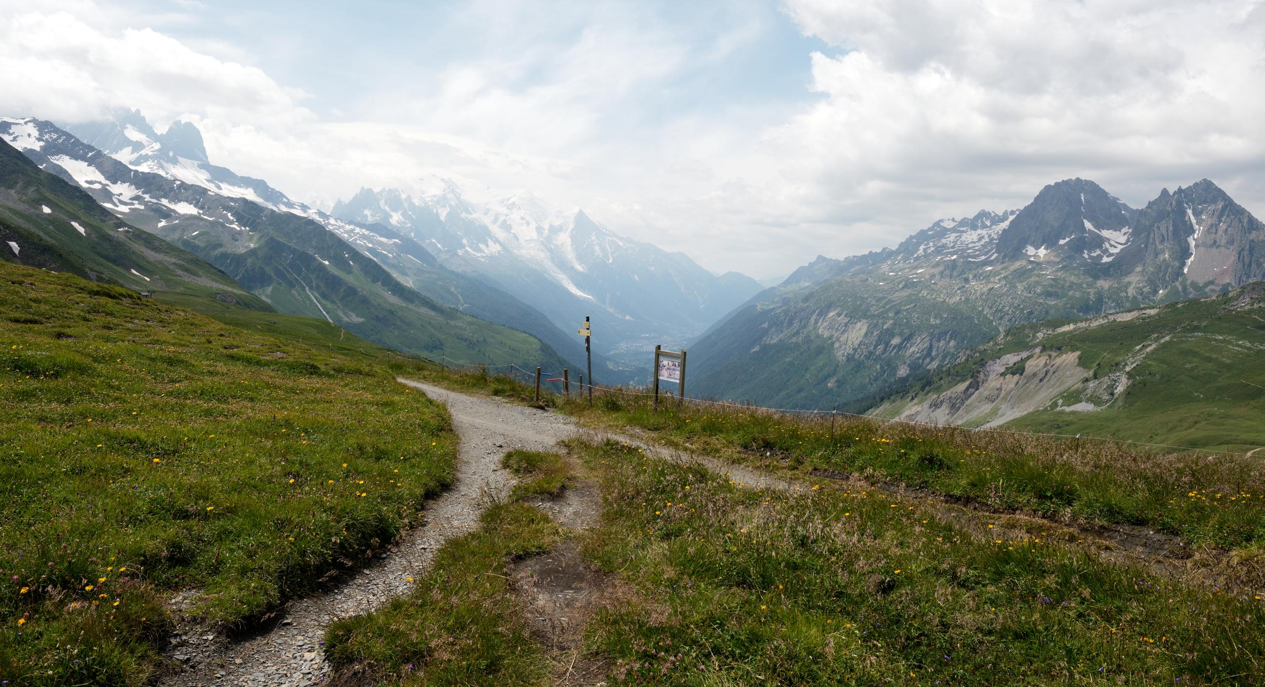
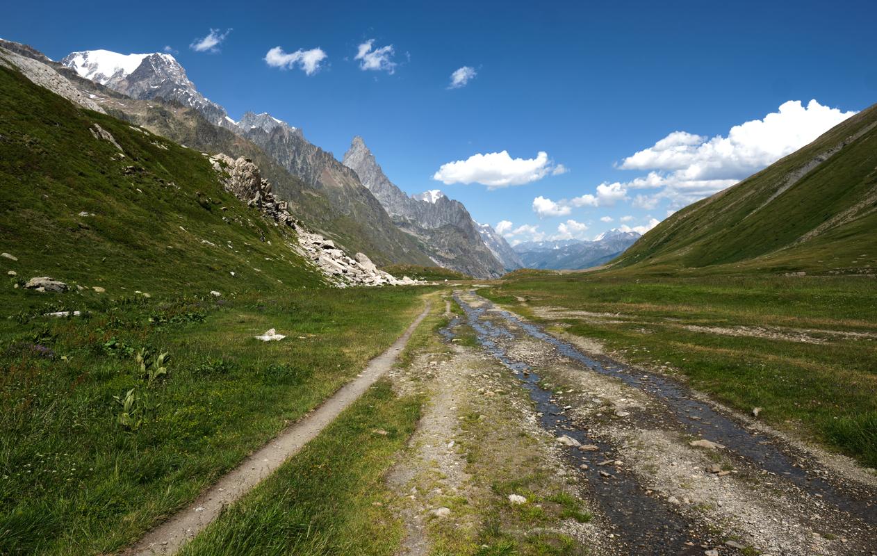
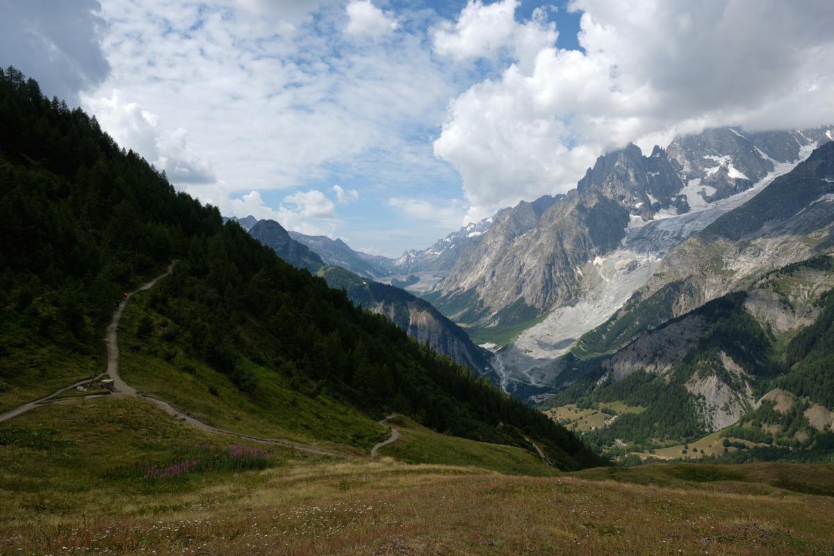
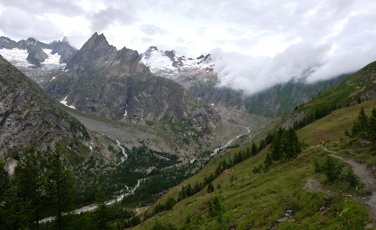
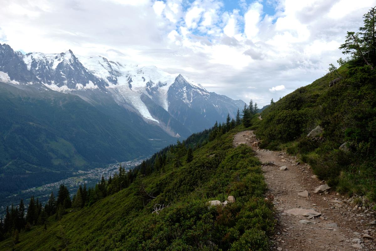
If you're seeking one of the most celebrated long-distance hikes in the world, the Tour du Mont Blanc (TMB) offers an unforgettable 170-kilometer journey that encircles the highest peak in Western Europe. Winding through the Alps of France, Italy, and Switzerland, the trail offers a dramatic mix variety of landscapes - from rugged peaks and tumbling glaciers to rolling pastures and forested valleys. Hikers pass through traditional alpine villages and hamlets, where the architecture, food, and atmosphere shift with each country. Due to its fame, its relativily easy and well-marked trails and a wide range of accomodation and infrastructure, it is one of the favourite choices for first-time multi-day trekkers, which means you will seldom be alone on the trail, and you might want to book peak season accomodation in advance. A nice bonus: even though it's a loop around just one mountain, you'll cross three countries with no passport checks required.
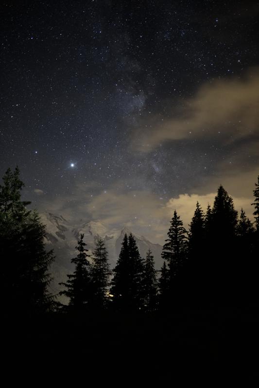
My experience on the TMB was fantastic. I went there in July 2020, as the first trip after getting my PhD and just after the worst part of the first Covid wave passed. As a result, there were not people out on the trail yet, so it was probably its calmest summer in a long while. The weather was very good, and I met a couple of Belgian groups and hikers, including someone who lives across my street and a former colleague. Bizarre! As I had the full summer to travel, I took some resting days and did some shorter days and alternative routes. I started in Champex-Lac, easily accessible by train (and a small bus drive up), which was the ideal starting point for me as it offered a nice warming up, and I anyway continued to Zermatt after finishing the loop. All in all, it was definitely not the hardest trek I ever did.
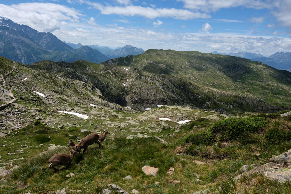
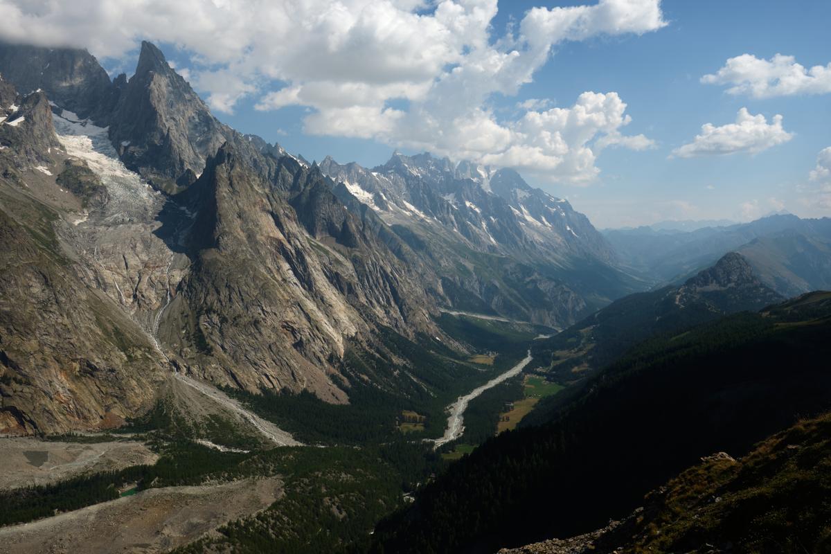
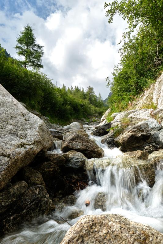
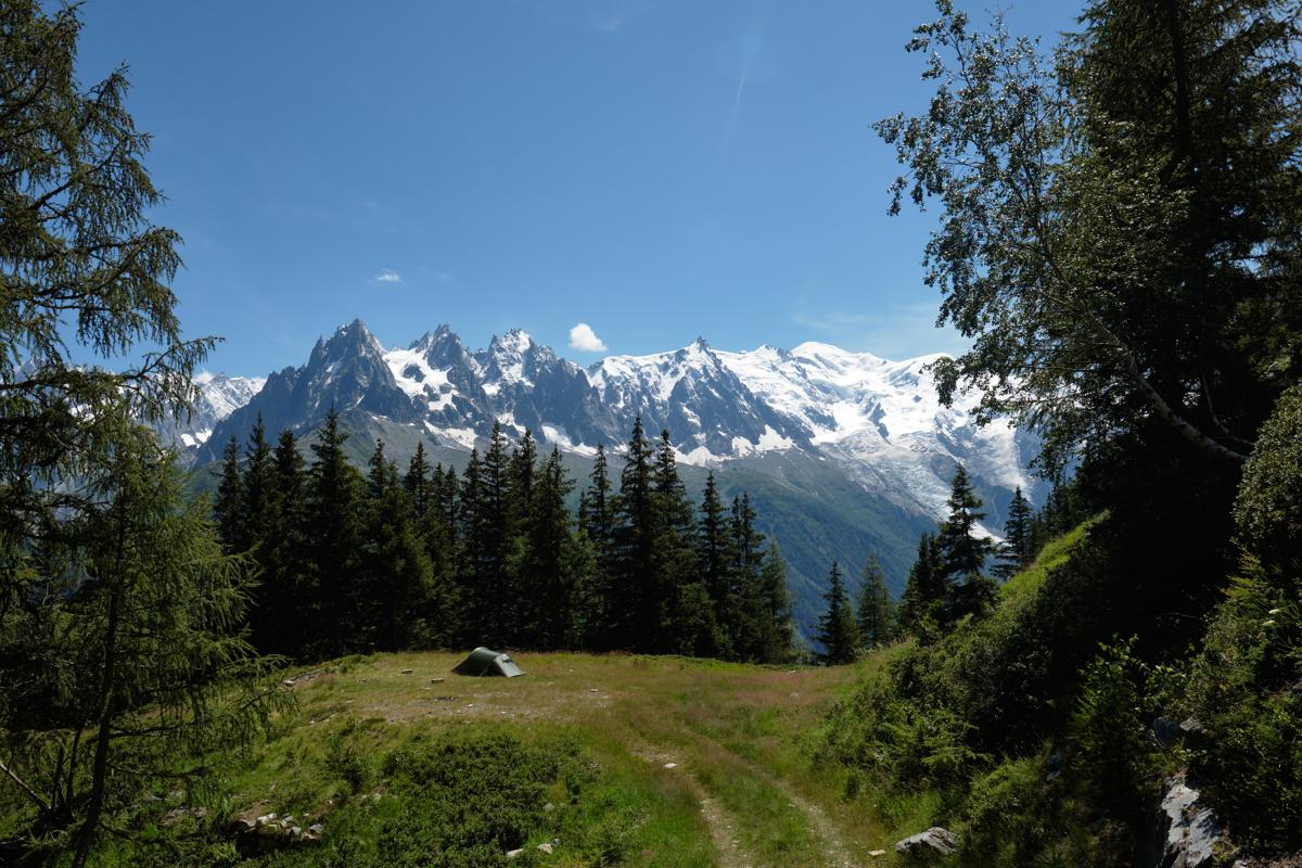
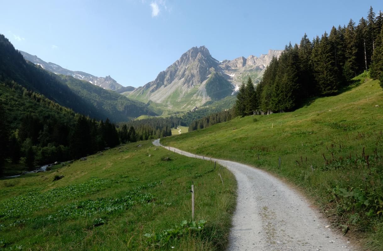
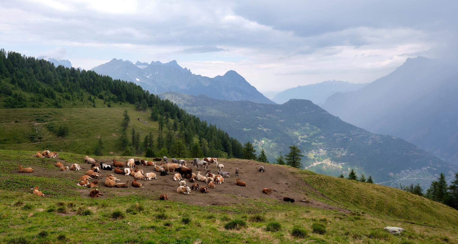
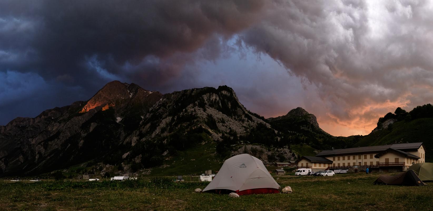
Some of my photos
Chamonix
Weather data at 1043m
Historical data 1970-2000 from WorldClim2 (worldclim.org)
Access
Overnight
route my
route