Mount Kinabalu
 Difficulty:
★★★★☆ Beauty:
★★★★☆ My experience:
★★★☆☆
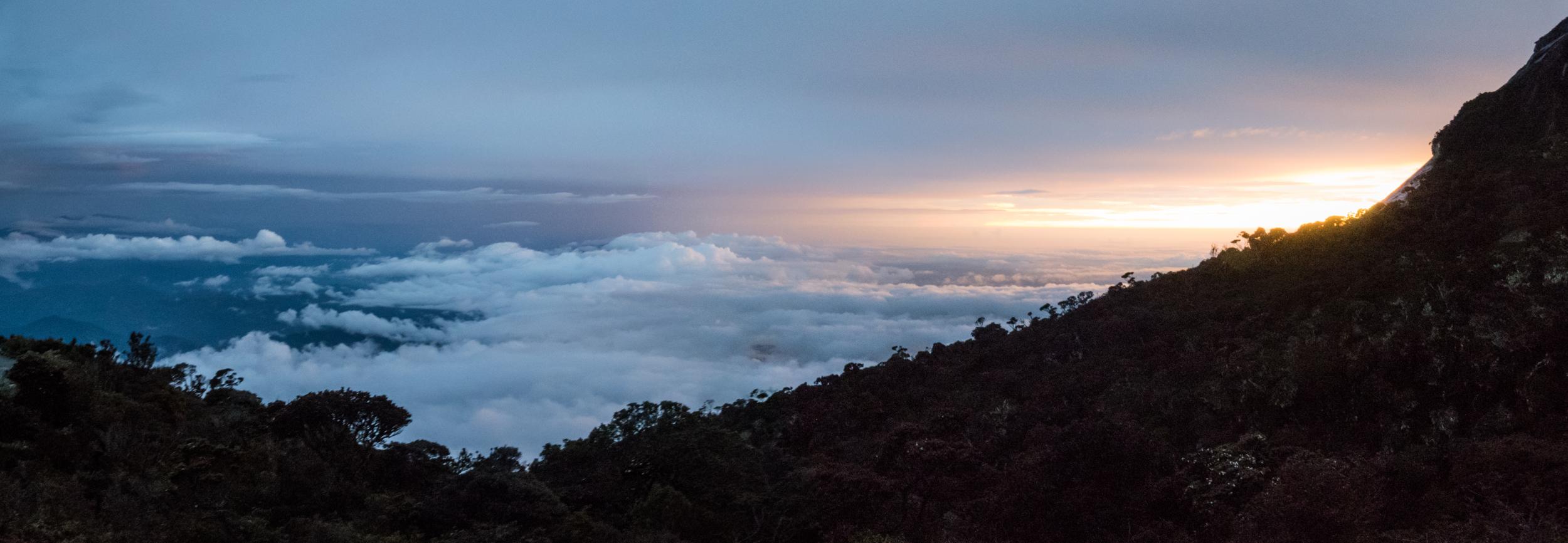
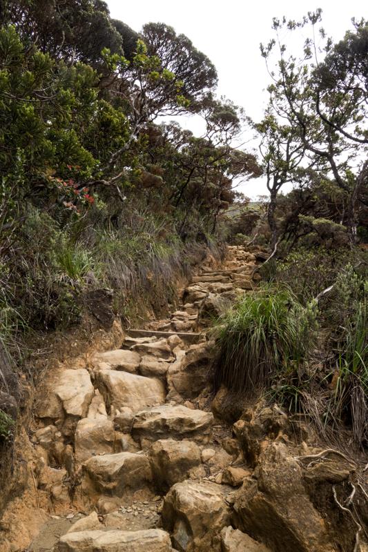
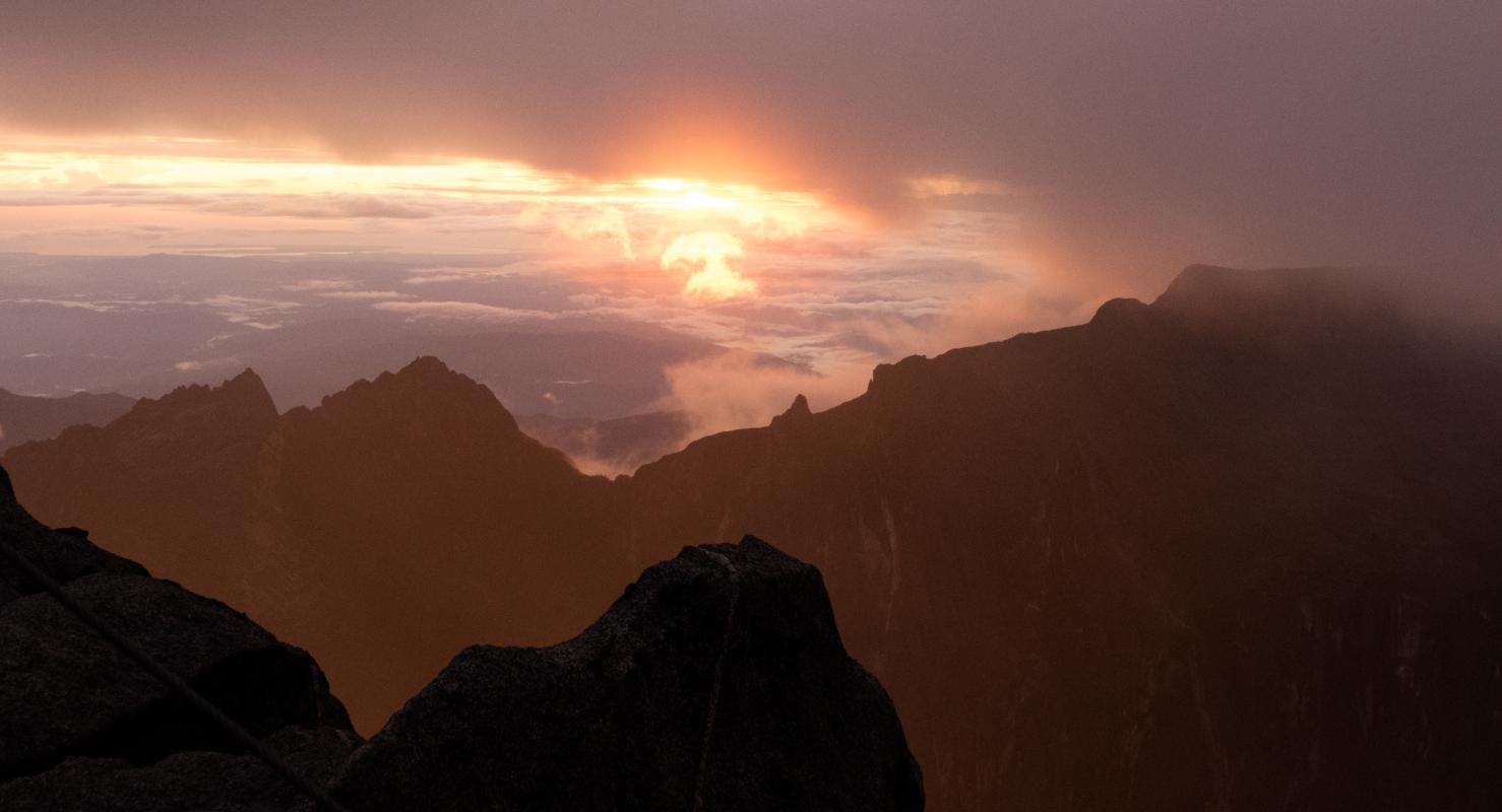
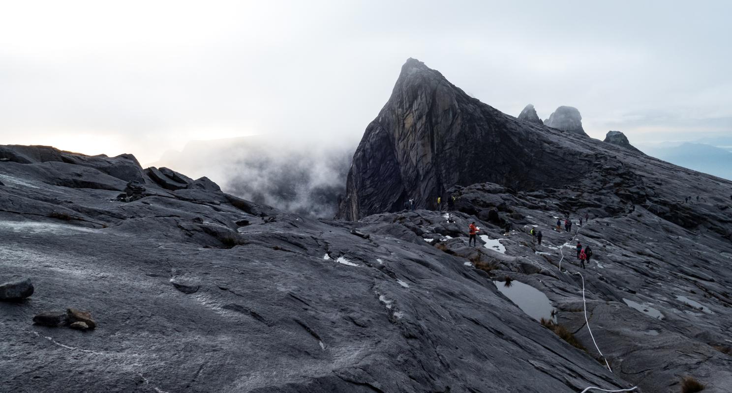
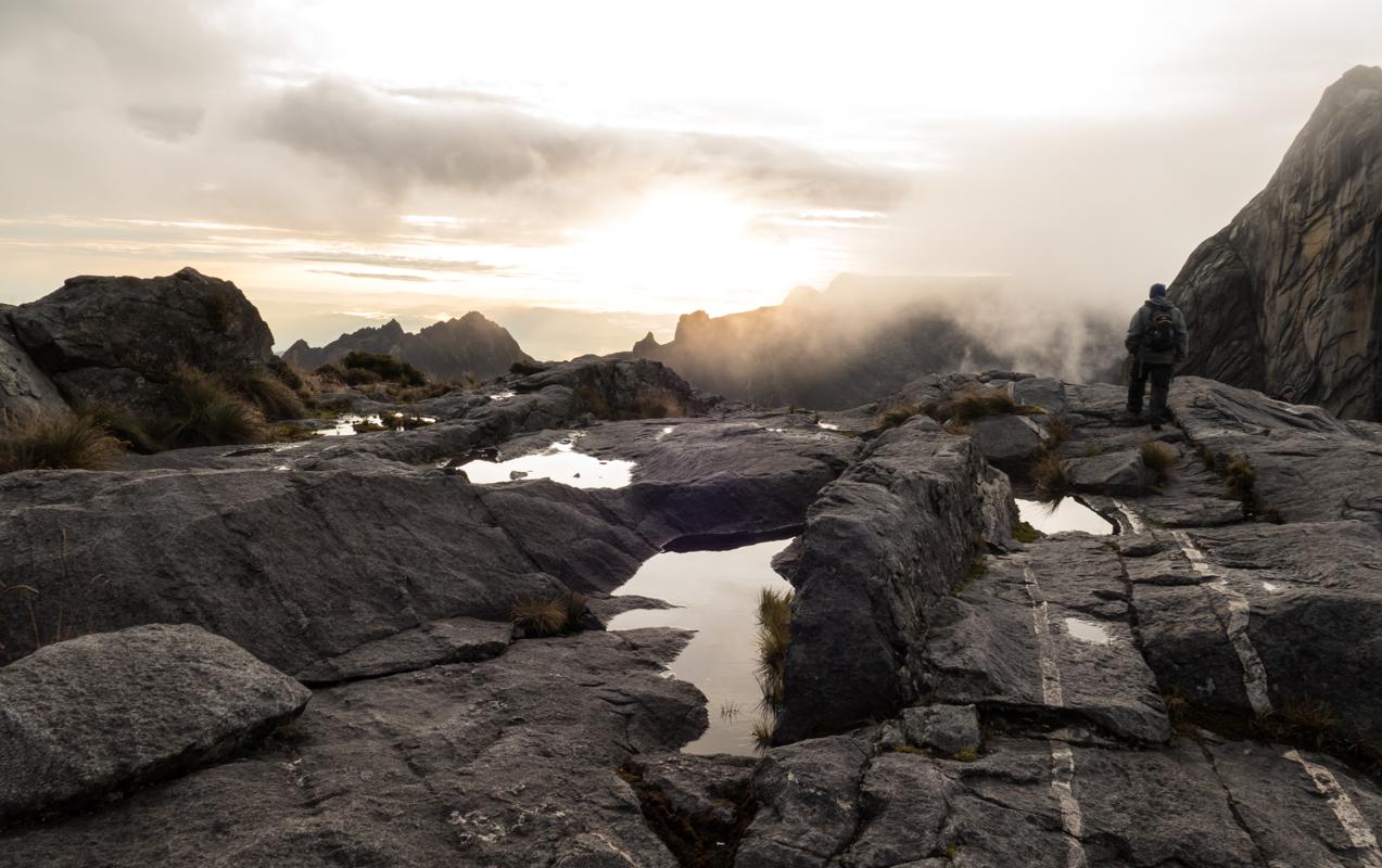
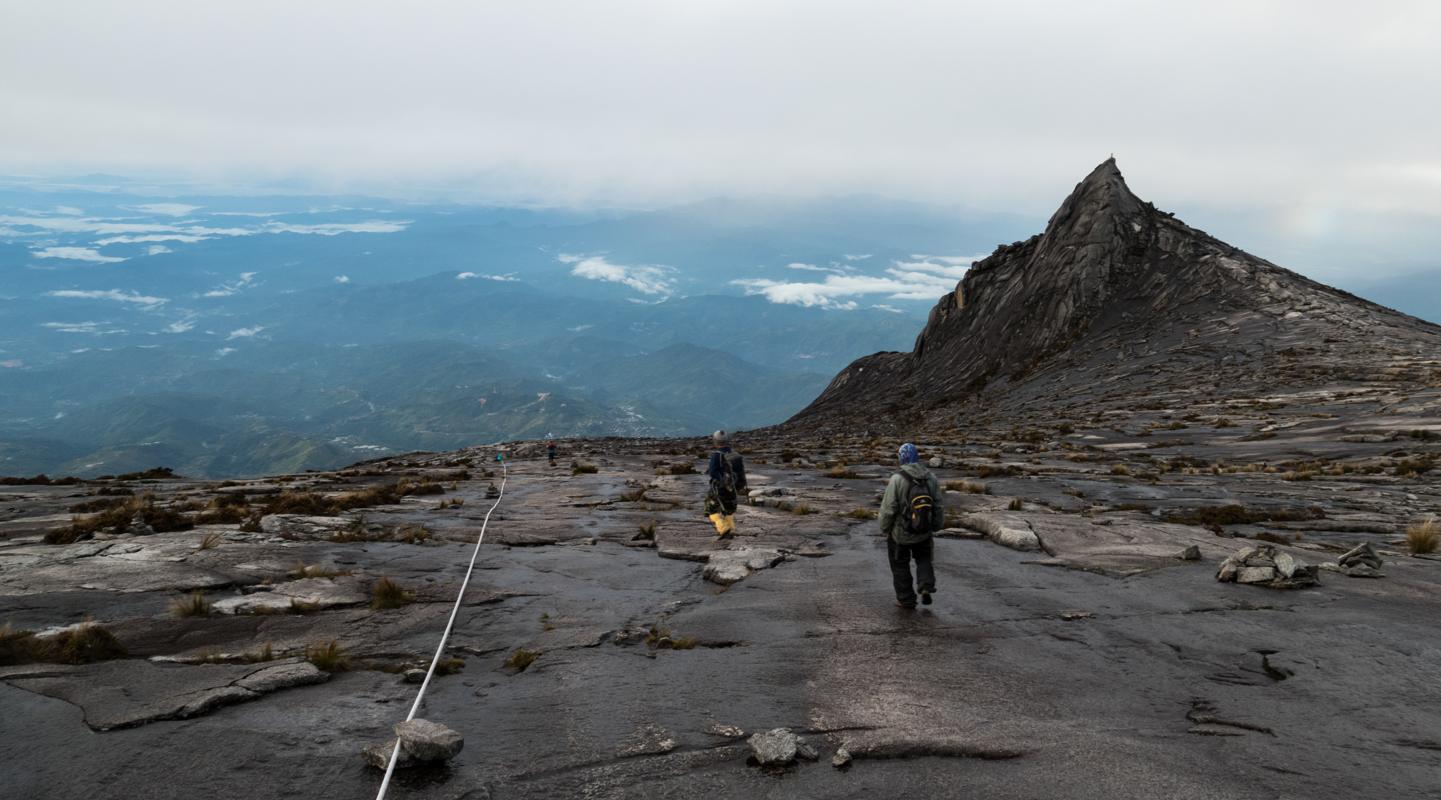
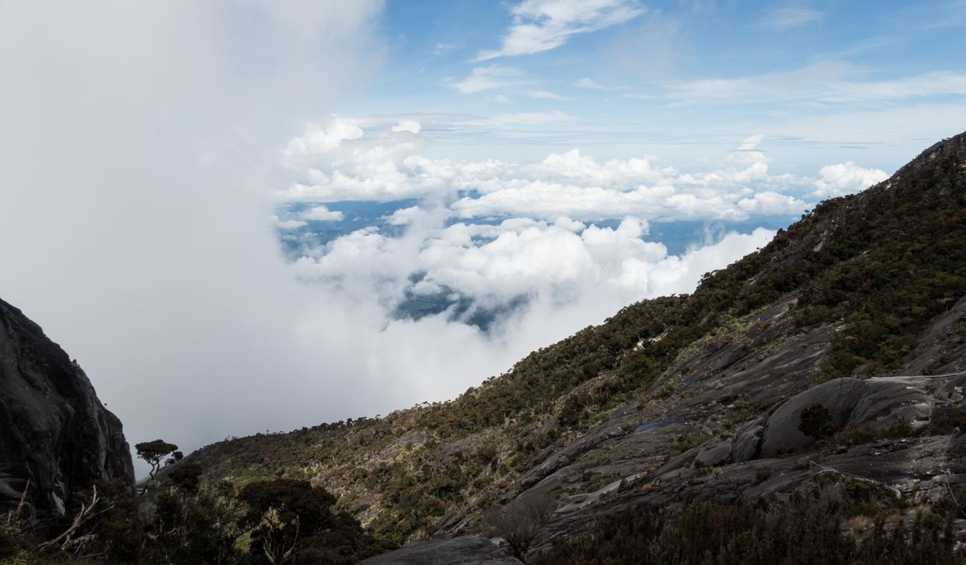
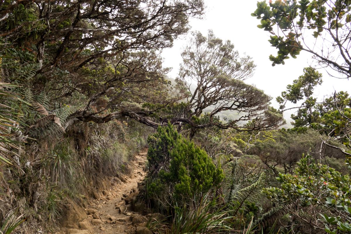
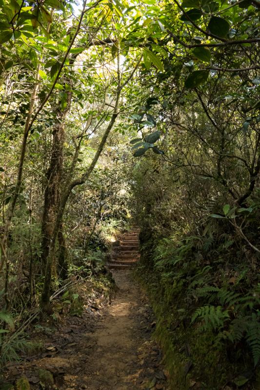
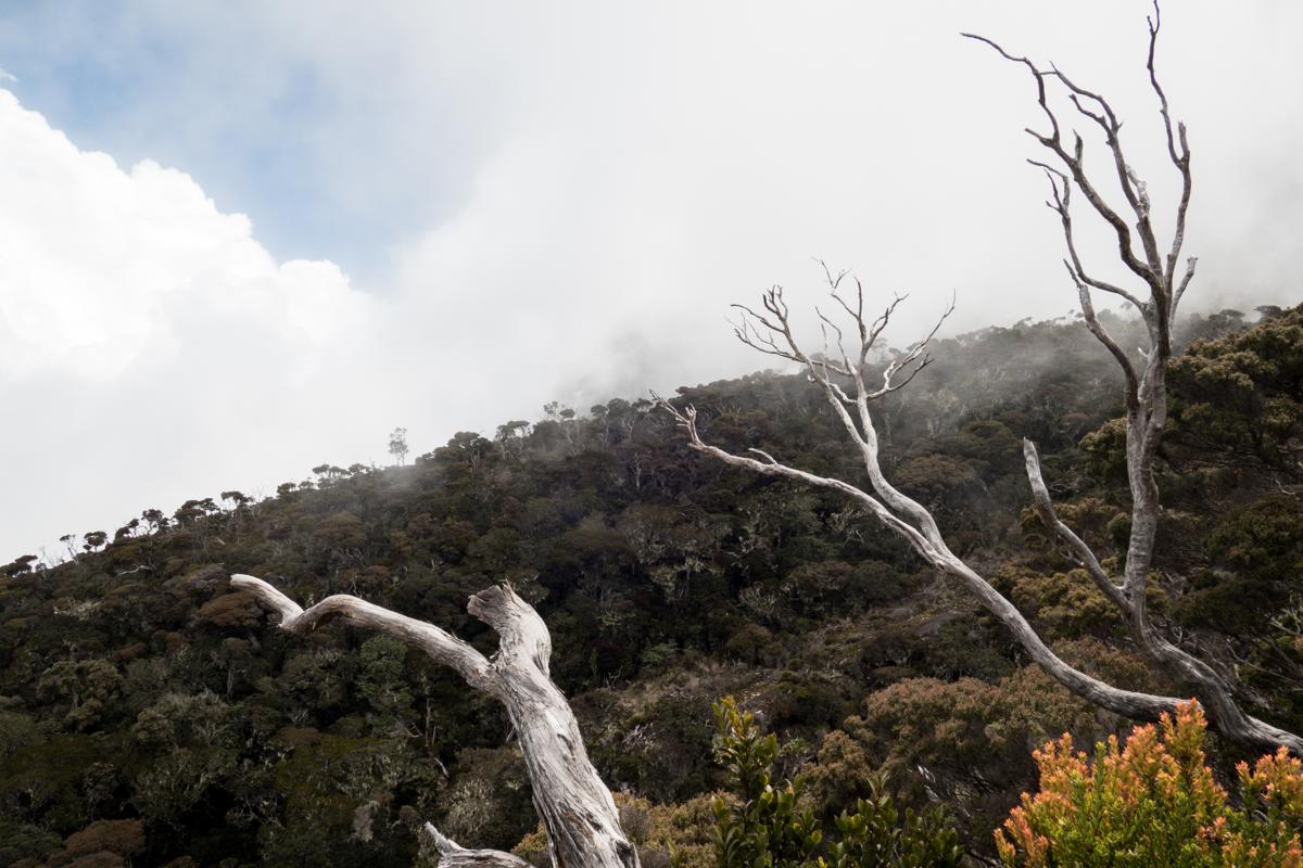
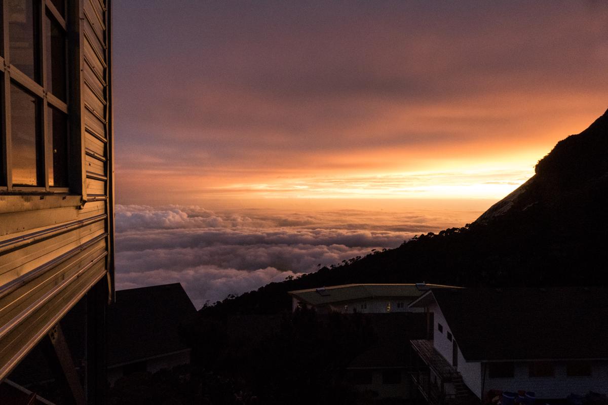
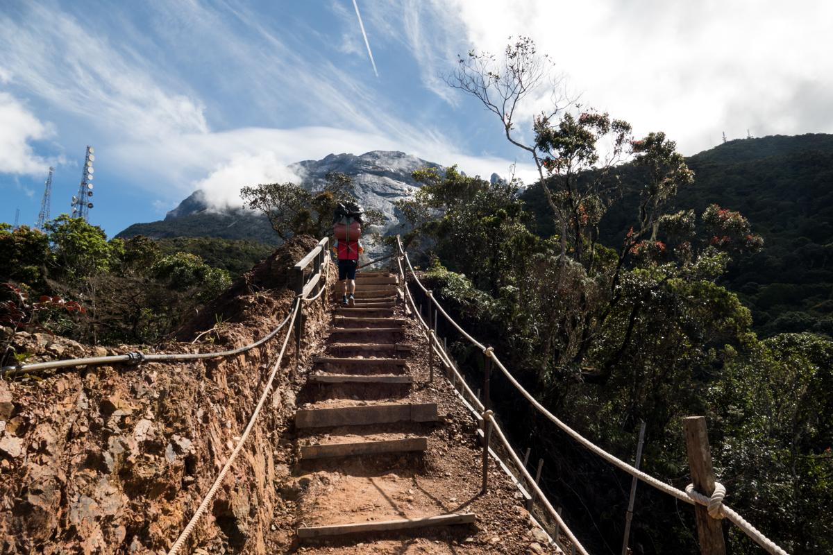
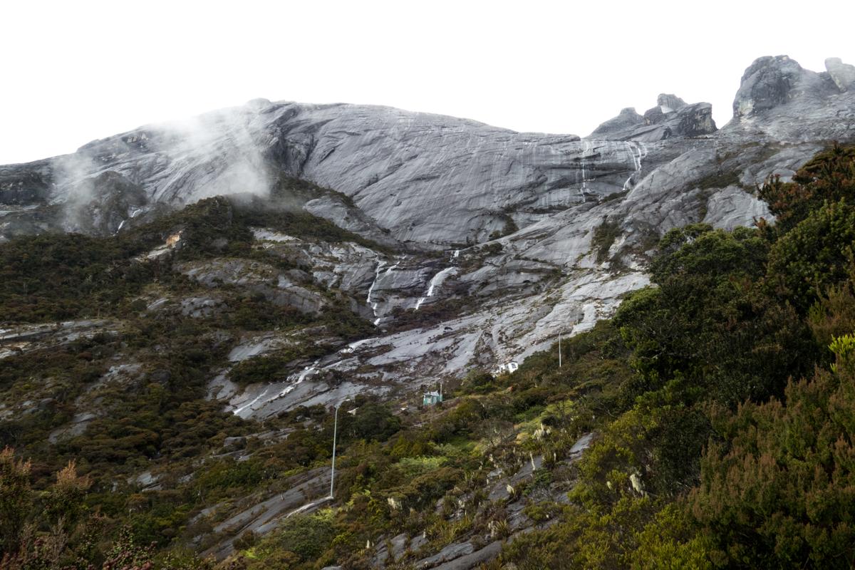
Mount Kinabalu is Southeast Asia's highest climbable peak by a non-technical trail and a popular trek in Malaysia. Located in Sabah, on the island of Borneo, it rises dramatically from the Crocker Range and is the crown jewel of Kinabalu Park, a UNESCO World Heritage Site. The trail passes through lush tropical rainforest, cloud forest, and eventually barren granite slopes, offering sweeping views over misty valleys and dramatic rock formations. The route is well maintained and clearly marked, but with a mandatory guide hire and overnight stay at a designated mountain lodge before a pre-dawn summit push. While the trail is just two days long, the elevation gain is significant, reaching over 4,000 meters, and the weather can shift quickly from humid heat to cold winds near the summit. In 2015, a magnitude 6.0 earthquake struck Mount Kinabalu, causing massive rockfalls near the summit and tragically killing 18 people, including climbers and local guides.
On my holiday on Borneo, I visited the rainforest, got my PADI diving license, and I wanted to do the most significant hike on the island - the ascent of Mount Kinabalu. On top of the regular ascent, I booked the Via Ferrata descent, which replaces a part of the descent with a climbing route, which is also the highest Via Ferrata in the world at 3,776 meters altitude. I found the elevation difference quite challenging, especially on the knees in the descent, so do prepare for this accordingly.
Some of my photos
Tinompok
Weather data at 1473m
Historical data 1970-2000 from WorldClim2 (worldclim.org)
Access
Overnight
route my
route