GR54 - Tour des Ecrins
 Difficulty:
★★★★☆ Beauty:
★★★★☆ My experience:
★★★★☆
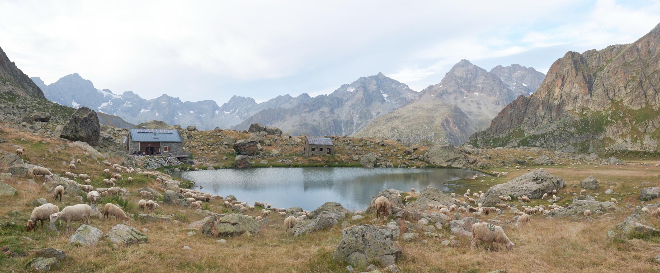
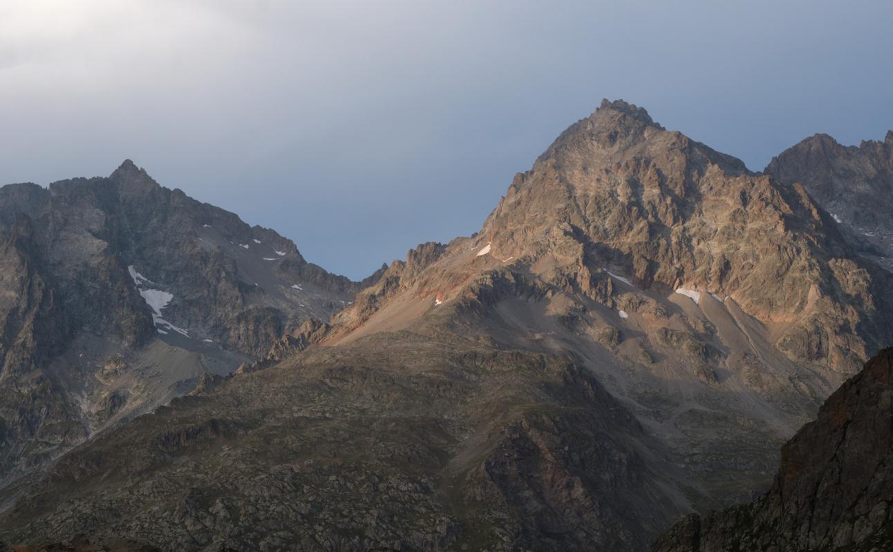
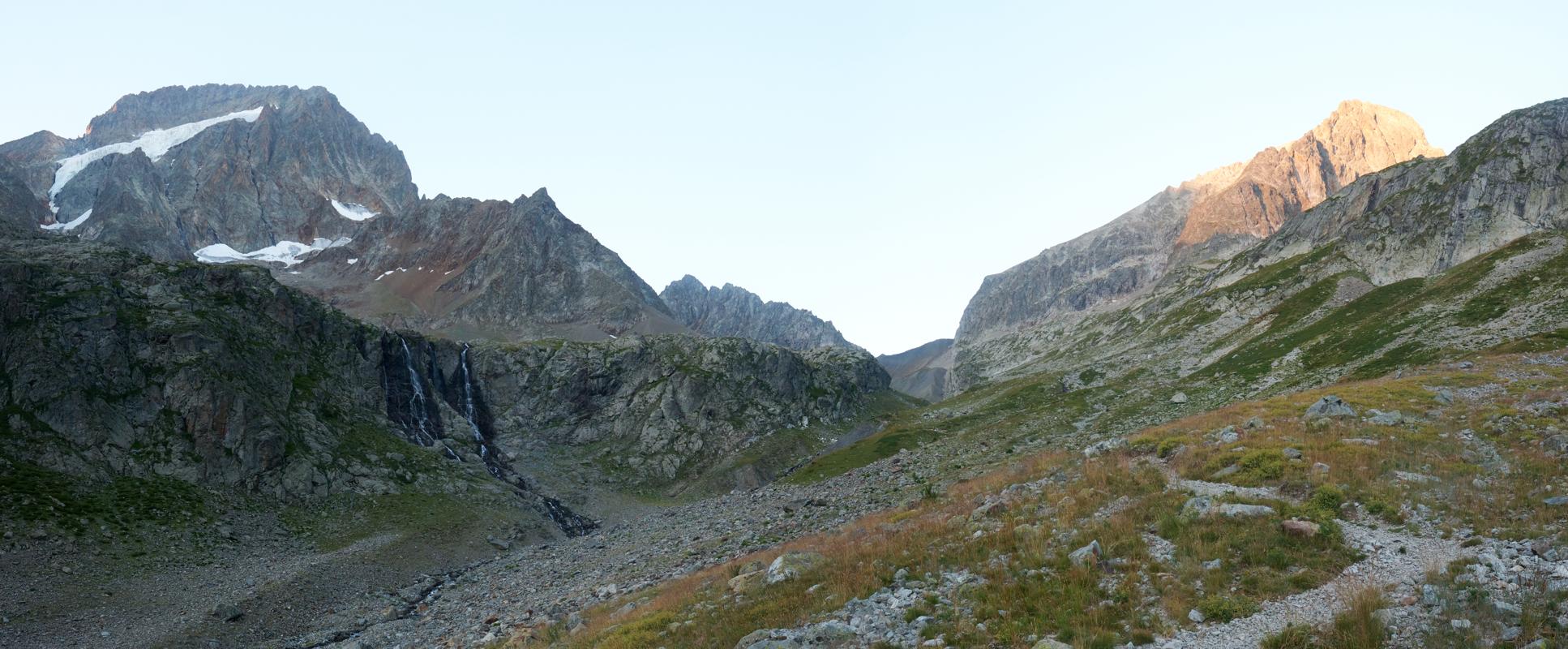
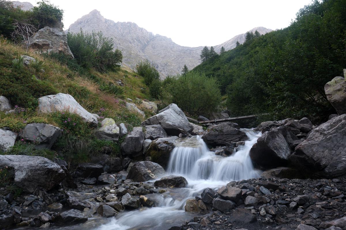
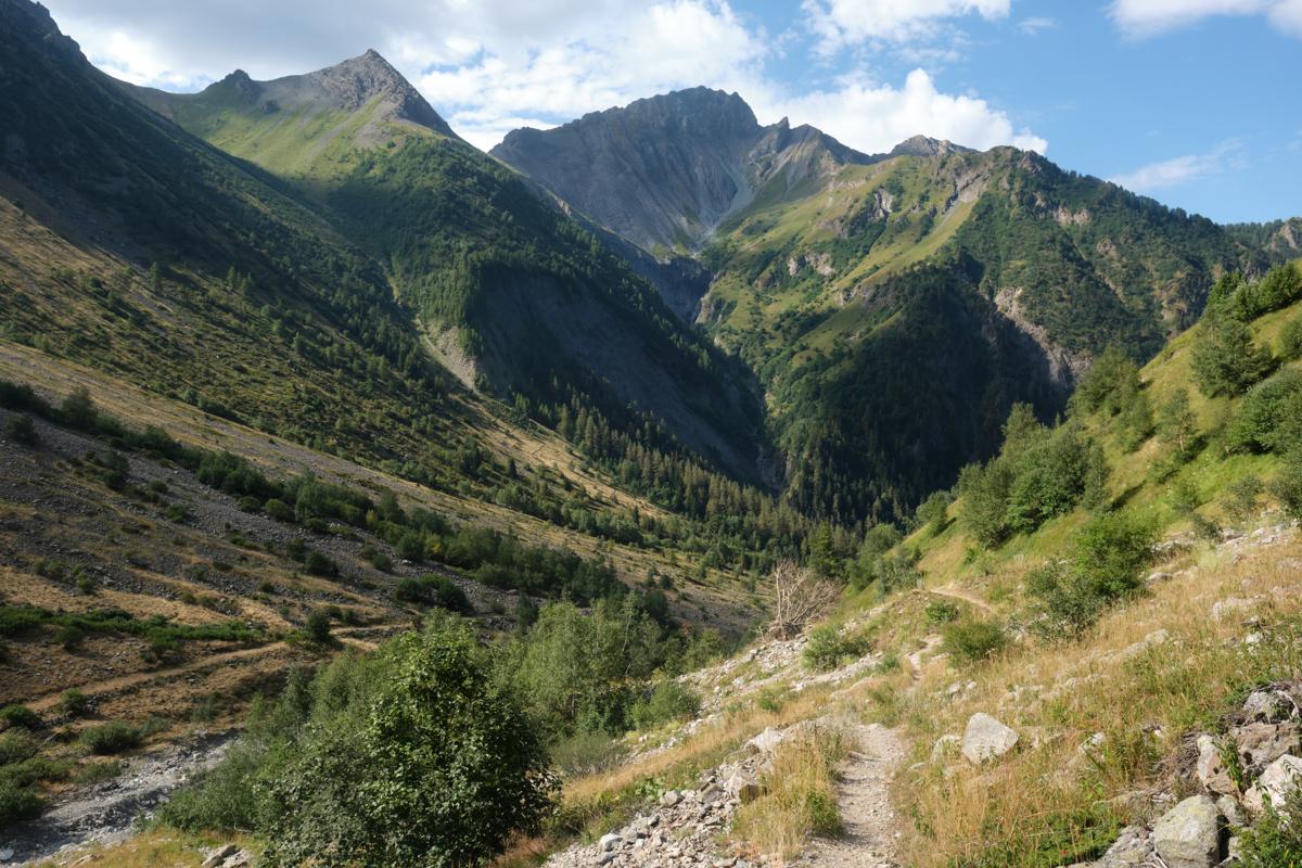
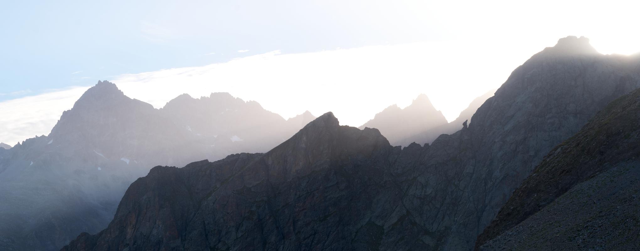
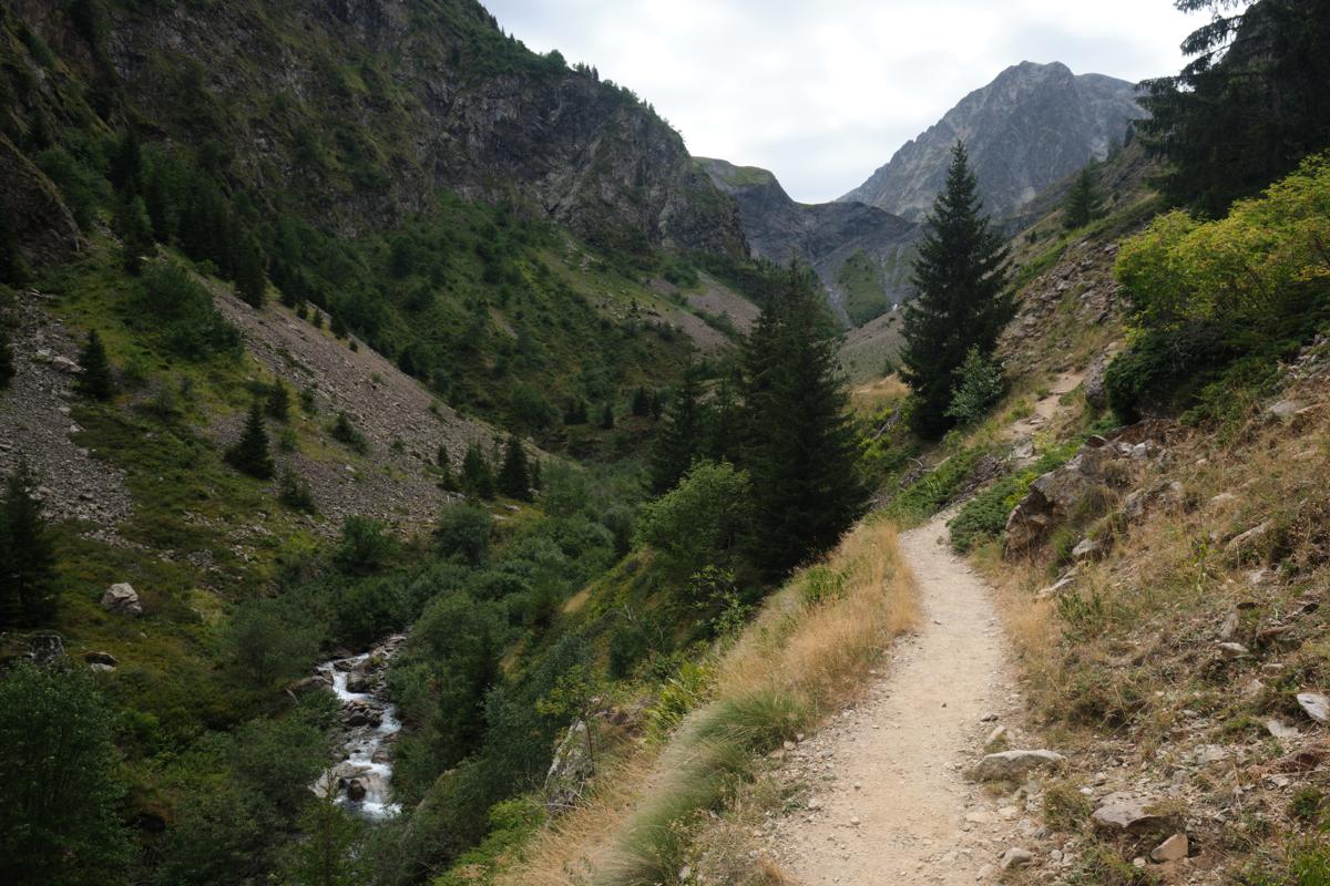
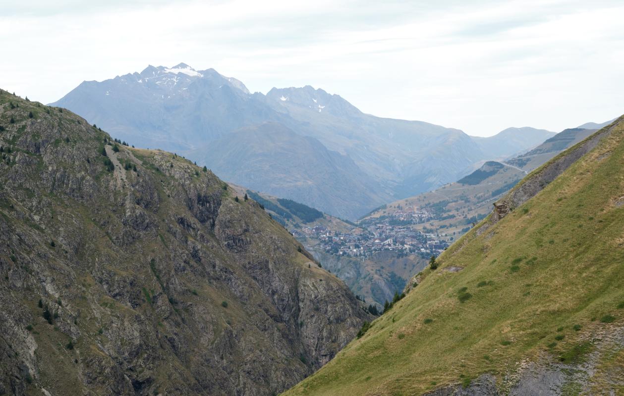
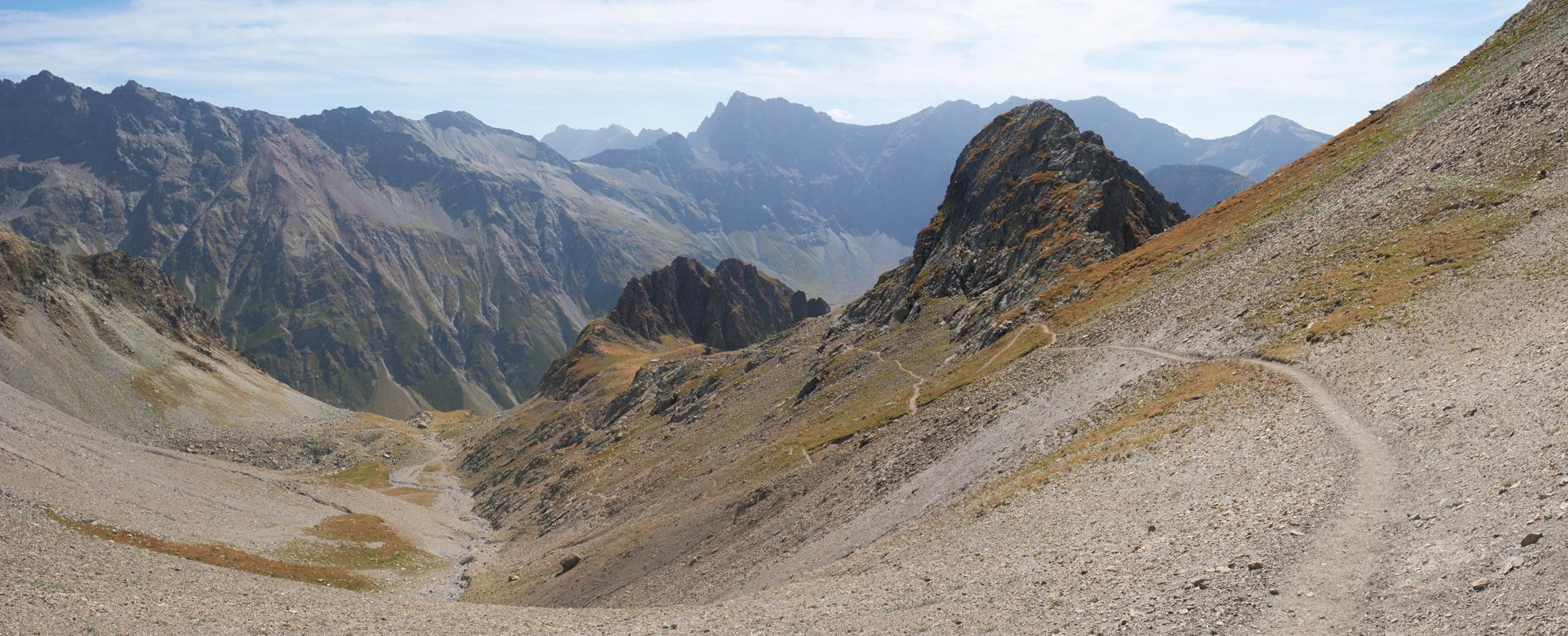
The Tour des Écrins, also known as the GR54, is a challenging circular trek that loops around the rugged Écrins Massif in the French Alps. Passing some unspoilt alpine terrain and beautiful villages and hamlets, the trail offers a great sense of escape from the big cities. Along the way, hikers pass through isolated hamlets, shepherd huts, and remote mountain villages, with daily views ranging from craggy granite spires to glacier-fed rivers. The trek can be walked both clockwise (most popular) and counter-clockwise, and can be hiked partly due to multiple access points along the way. Note that the trek is strenuous, with some high passes and long days, and it should be attempted by experienced hikers only. Did you know that the GR54 is one of the most difficult of France's official Grande Randonnée routes - and one of the least crowded?
I walked about half of the GR54 on my own in 2023, before continuing to the South of France for cycling. I started in Bourg d'Oisans, started climbing Alpe d'Huez, and then changed my mind to continue south anyway (using a short bus ride to Venosc). There, I started hiking, camping every night on the route in multiple beautiful camping spots, both with and without facilities. The terrain made me sweat a lot, although that could also have been due to a heat wave that was going on, a whopping 37 degrees in the valleys!
Some of my photos
Bourg d'Oisans
Weather data at 733m
Historical data 1970-2000 from WorldClim2 (worldclim.org)
Access
Overnight
route my
route