Cerro Castillo
 Difficulty:
★★★★☆ Beauty:
★★★★★ My experience:
★★★★☆
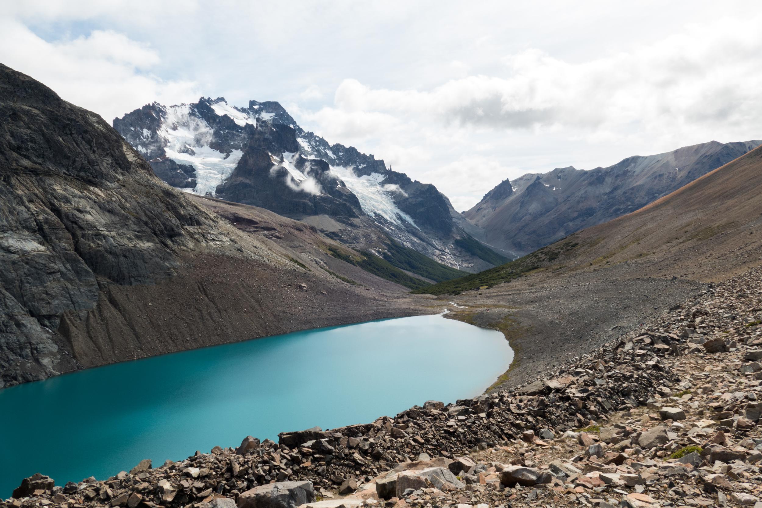
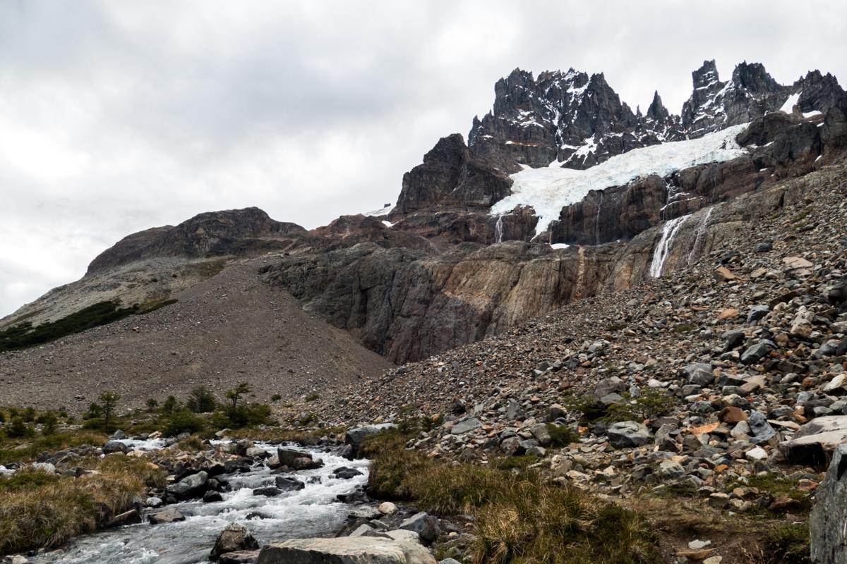
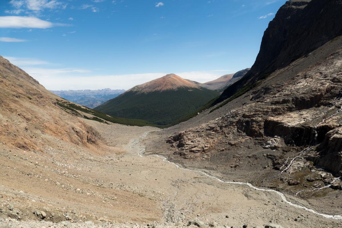
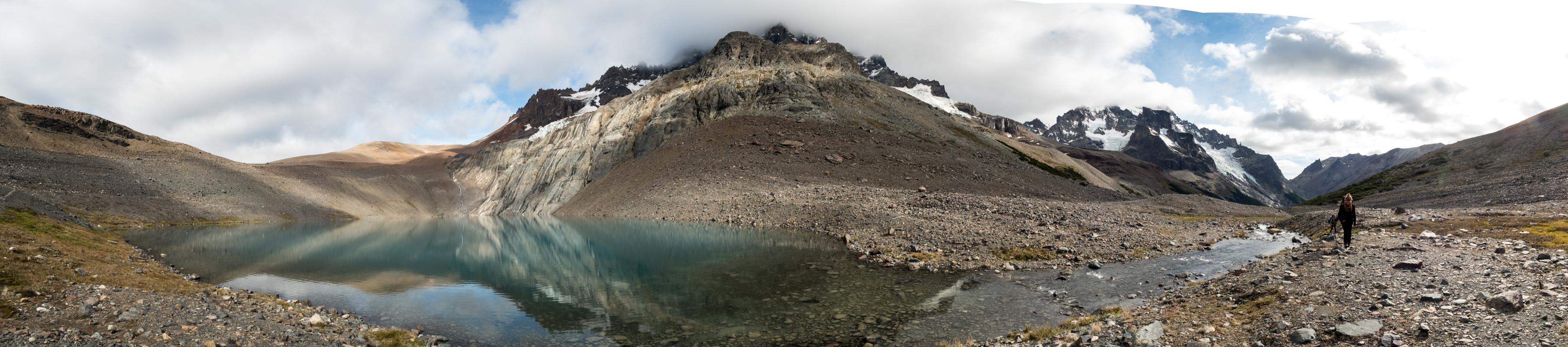
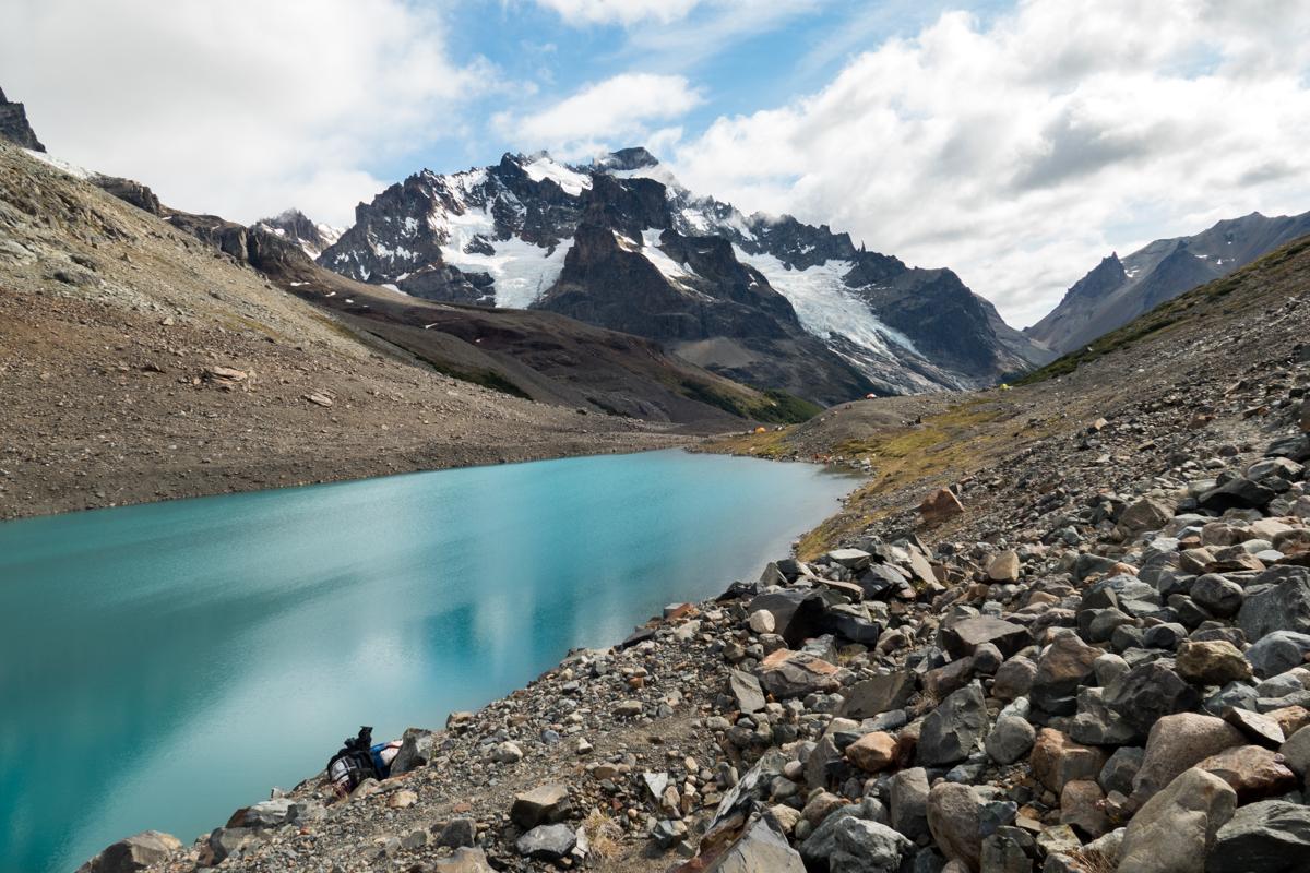
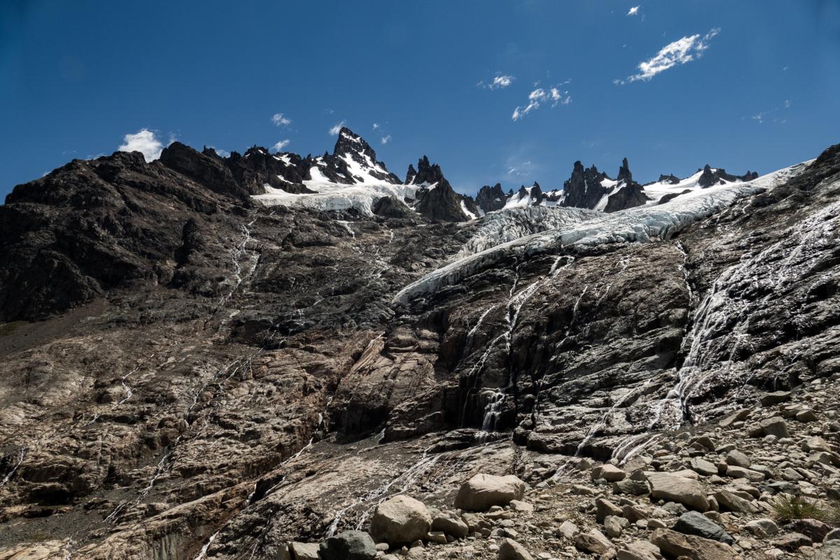
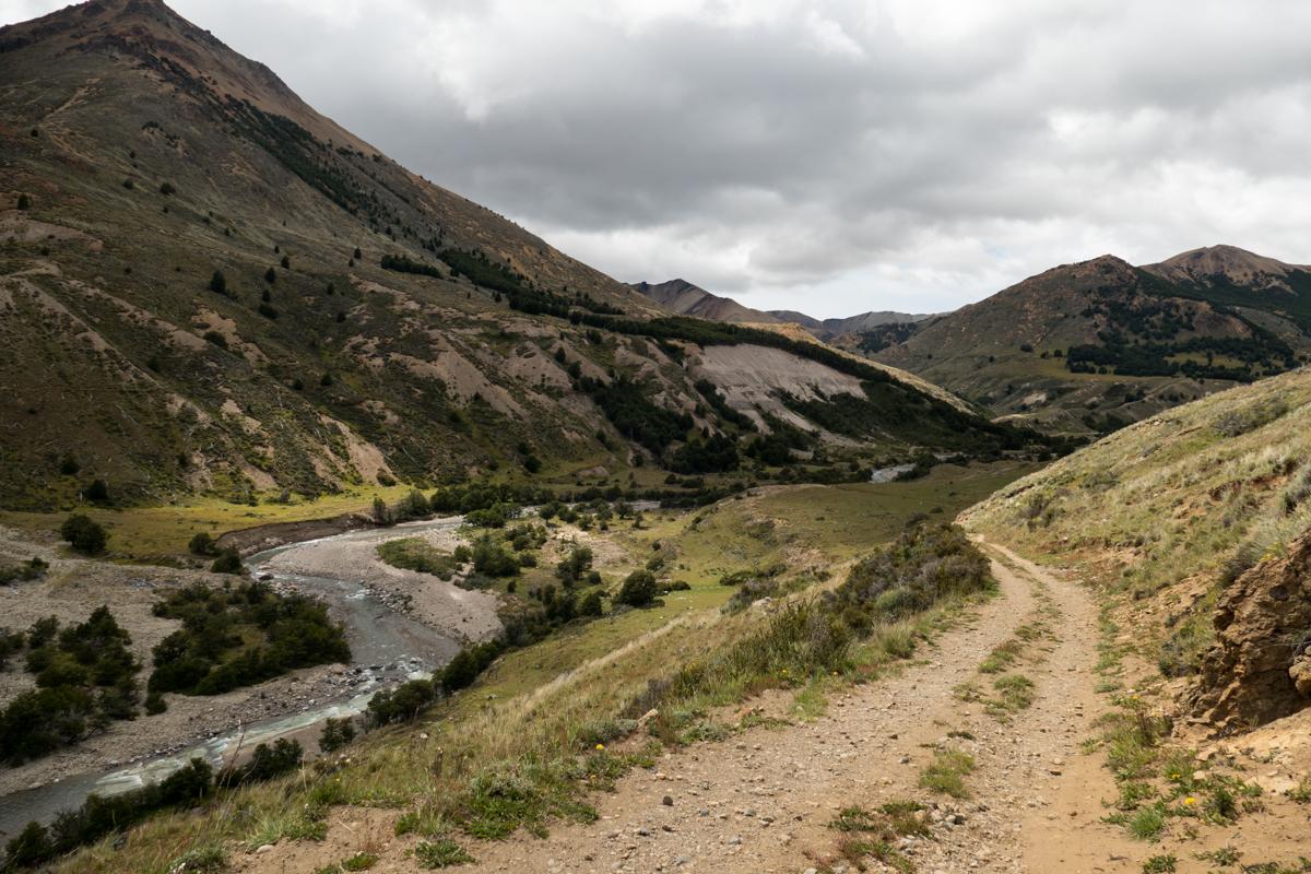
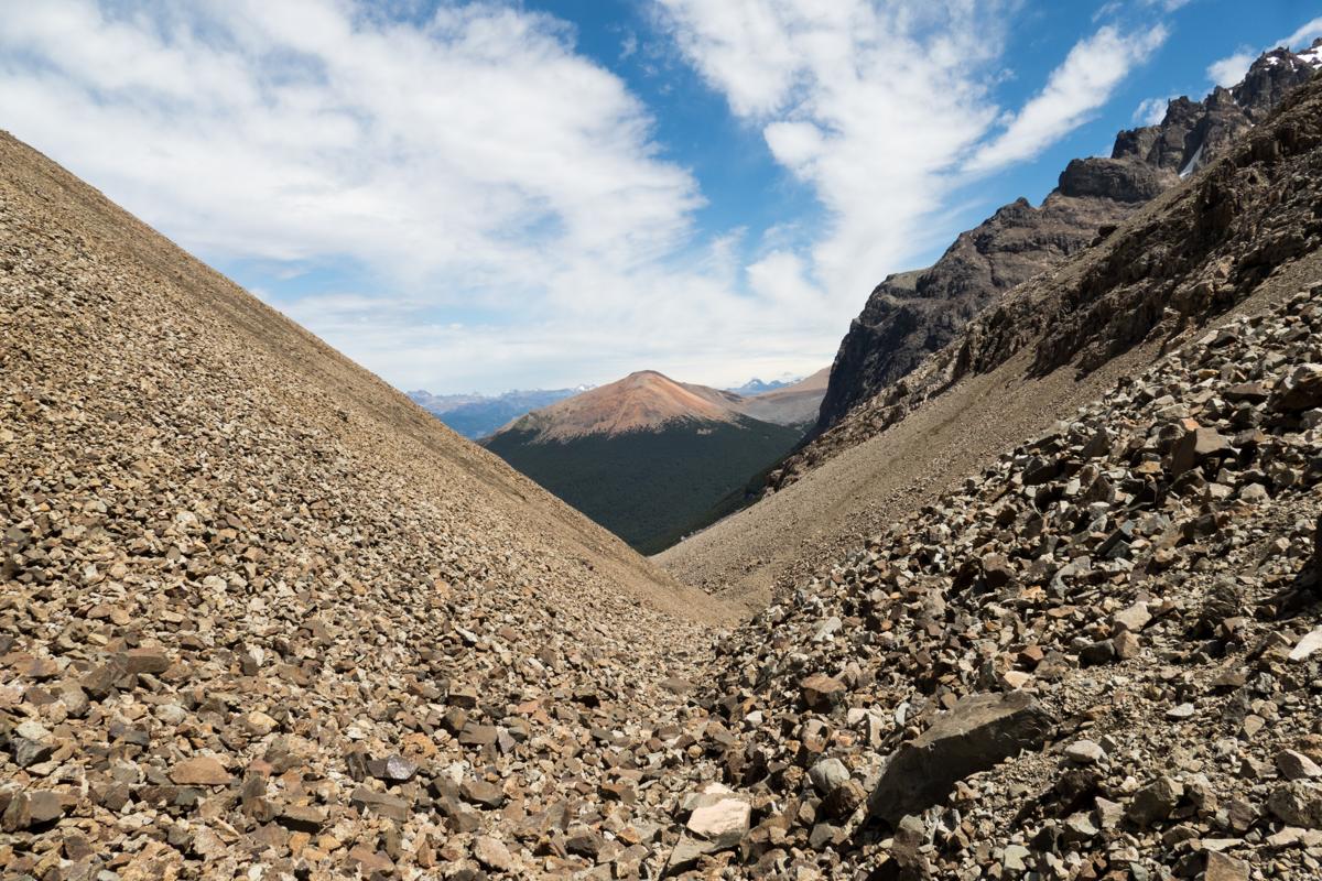
If you’re looking for a challenging Patagonian trek with rugged beauty and fewer crowds than Torres del Paine, the Cerro Castillo Circuit offers a ~50 kilometer loop through the remote mountains of Chile’s Aysén region. It takes you past turquoise glacial lakes, hanging glaciers, and windswept passes with sweeping views of the surrounding valleys. The trail is less developed and more demanding than many famous Patagonian hikes, with long days, steep ascents, and navigation that can be tricky in poor weather. The trail leads hikers through remote wilderness with no permanent settlements, only isolated estancias and forested campsites scattered along the way, so it is essential to consult weather forecasts and properly prepare - not only for the weather, but also how to get to and from the trailhead. Did you know that Cerro Castillo means “Castle Hill” in Spanish—named for the peak's striking resemblance to a crumbling fortress rising above the clouds?
We crossed the border from Argentina to Chile, traversing the Lago General Carrera by boat, to hike the Cerro Castillo trek. It was a wild experience, with few other hikers on the trail, changing weather conditions (though nothing too bad), and views that were astonishingly beautiful. A huge recommendation for anyone looking for the most rewarding and remote experience. Getting back to the lake in time to catch the boat back was quite a challenge, and with hitchhiking unsuccessful we ended up paying someone living in the village to drive us.
Some of my photos
Villa Cerro Castillo
Weather data at 357m
Historical data 1970-2000 from WorldClim2 (worldclim.org)
Access
Overnight
route my
route