Cape Wrath Trail
 Difficulty:
★★★★★
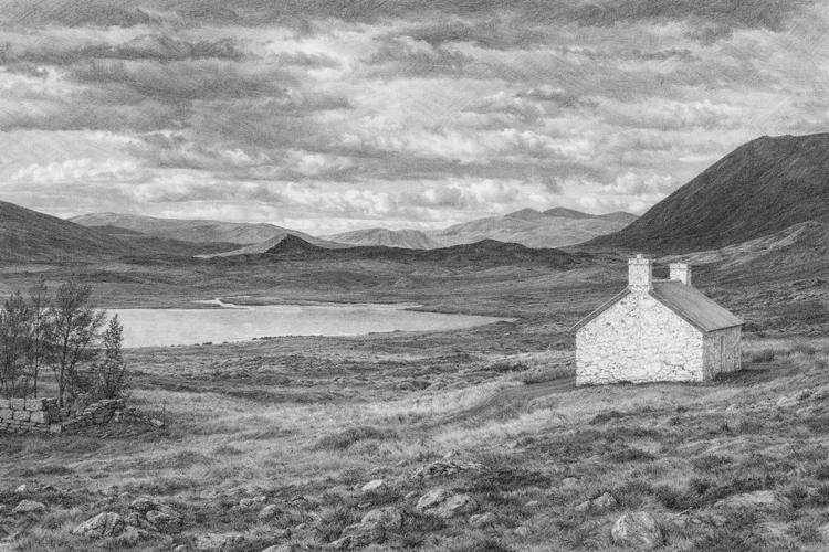
The Cape Wrath Trail is often described as the toughest long-distance hike in the UK, running for hundreds of kilometers through the remote northwest of Scotland and finishing at the dramatic Cape Wrath lighthouse. It attracts experienced and self-reliant hikers who enjoy wild landscapes, solitude, and an unstructured route rather than a marked national trail. The journey takes you through some of the country’s most breathtaking scenery, with only occasional villages to break the wilderness. Unlike many established trails, there are no waymarks or official paths—hikers must navigate using maps, compass, or GPS, often forging their way across boggy ground and river crossings. Wild camping is the most practical way to complete the trek, although a handful of bothies (basic mountain shelters) and occasional B&Bs can be found, while the climate is notoriously changeable, bringing everything from sun to storms in a single day. Did you know that the trail ends at Cape Wrath, where a working lighthouse has stood since 1828, accessible only by boat and a minibus over a military firing range? The area around Cape Wrath is so remote that the lighthouse keeper’s children once attended school via radio lessons.
Achnasheen
Weather data at 154m
Historical data 1970-2000 from WorldClim2 (worldclim.org)